
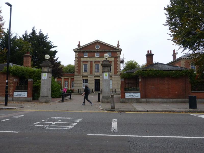
Old Royal Free Place
Ranking: | 3639 Times Asked: 3
Address: Liverpool Road | N1 | Side of Road: East | One-Way: No | Dead End: No |
Region: North | District: Barnsbury
Point Type: Streets | | Point Groups:
SDOL / SDOR Liverpool Road
LOL / LOR Liverpool Road
1st R Batchelor Street (for spin)2nd R Tolpuddle Street3rd R Upper Street (NLT Liverpool Road to Upper Street)
1st R Theberton Street1st L Lofting Road
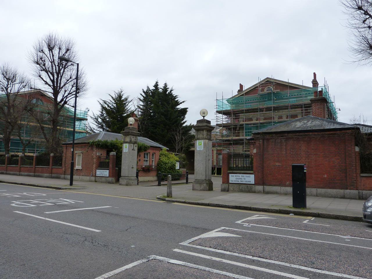

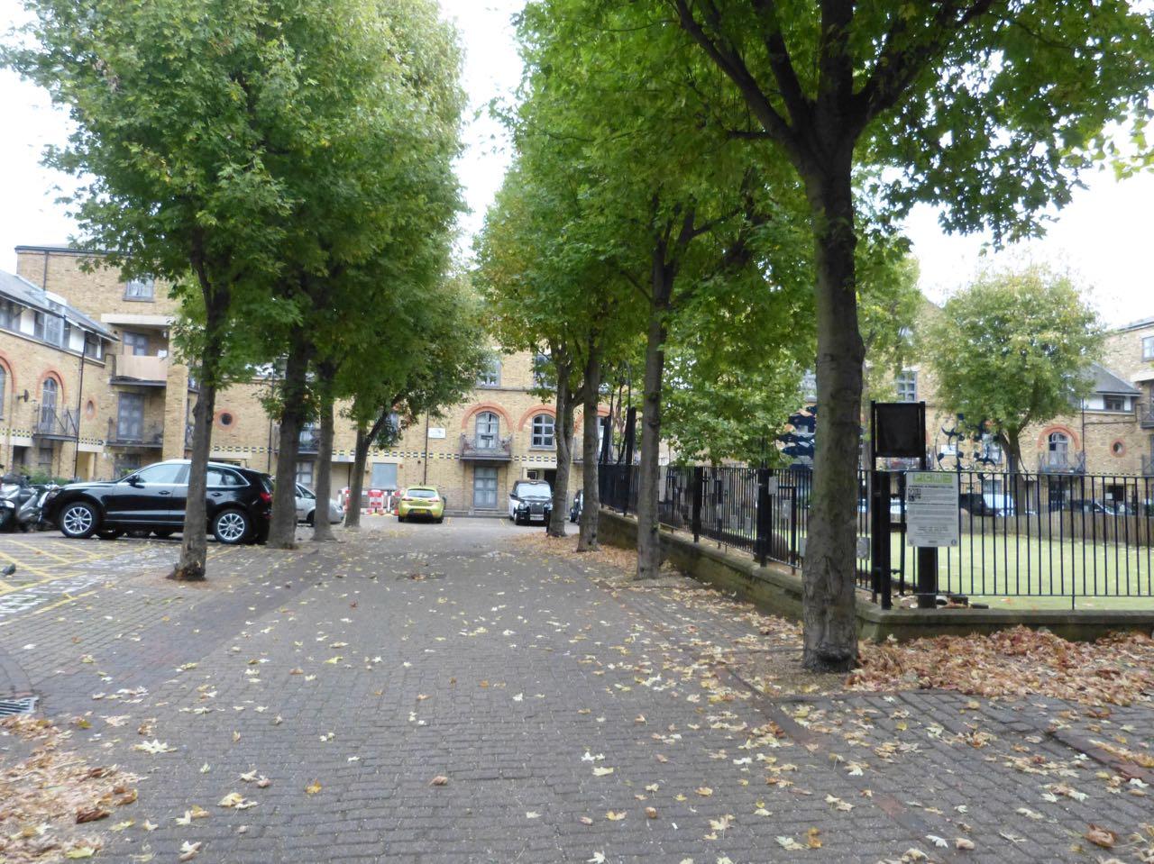
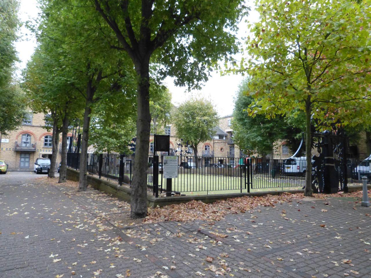
Postcode: N1 | District: Barnsbury | London Region: North
Bridge vertically above/below point: Blackfriars
Park Position: Between Bottom of Hampstead Heath & Top of Regents Park
London Line above point: Neasden Station / Hampstead Heath Station / Arsenal / Temple Mills Lane
London Line below point: North Acton Station / Warwick Avenue Station / Shoreditch High Street Station / Twelve Trees Crescent
Blue Book Run Ends within 1/4 mile of this point: 001E - Gibson Square
This point is a Run End Point of BB Run No. (if applicable):